


Duke Energy Renewables Solar permitting
Duke Energy Renewables Solar permitting
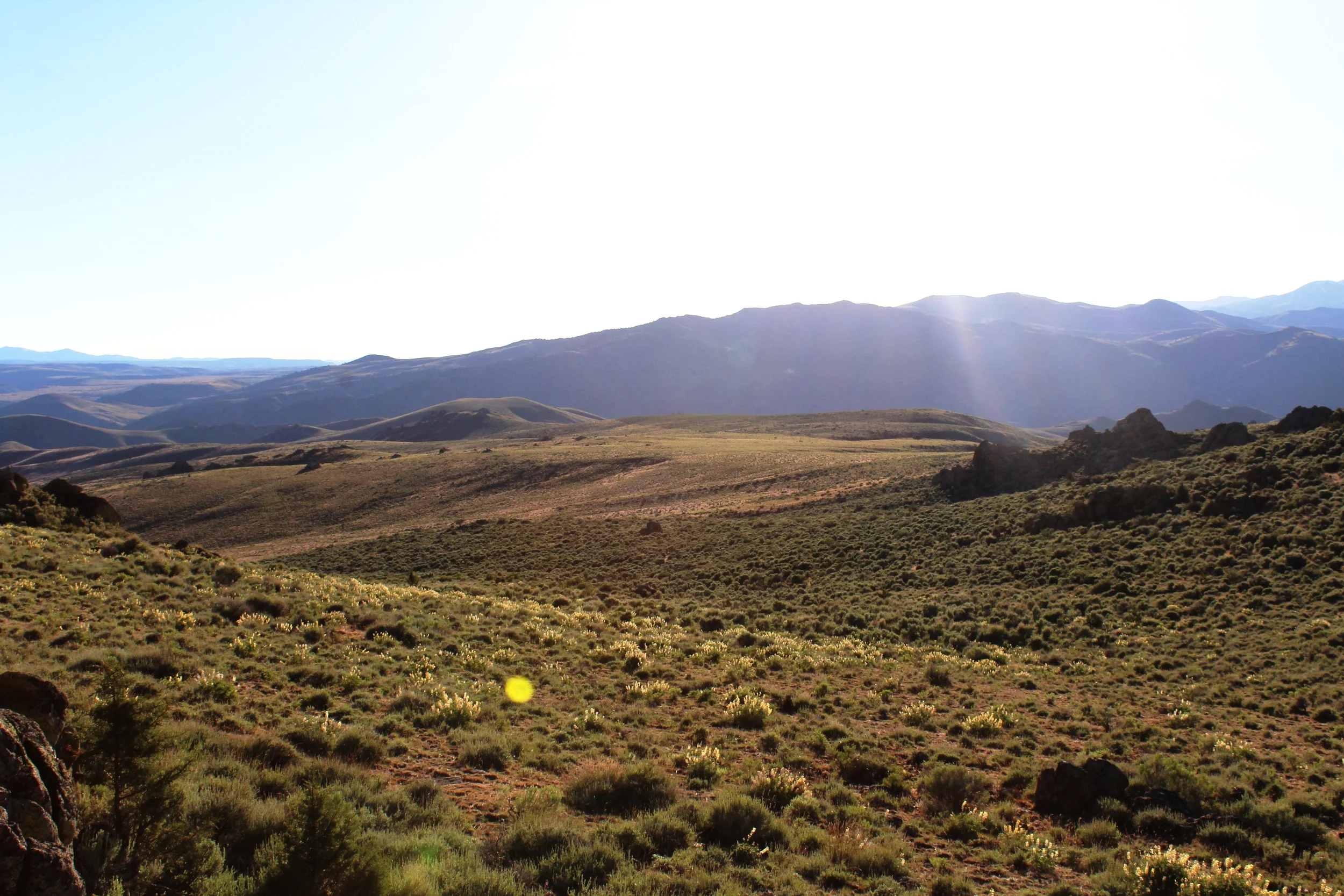
Sagebrush is working with several renewable energy producers to capture the solar and wind energy abundant in the West. Projects range in location from the Mojave to Idaho. We’re mapping wetlands and waters, inventorying for sensitive flora and fauna, and preparing stormwater plans (SWPPP) for the arid, erosive project sites.
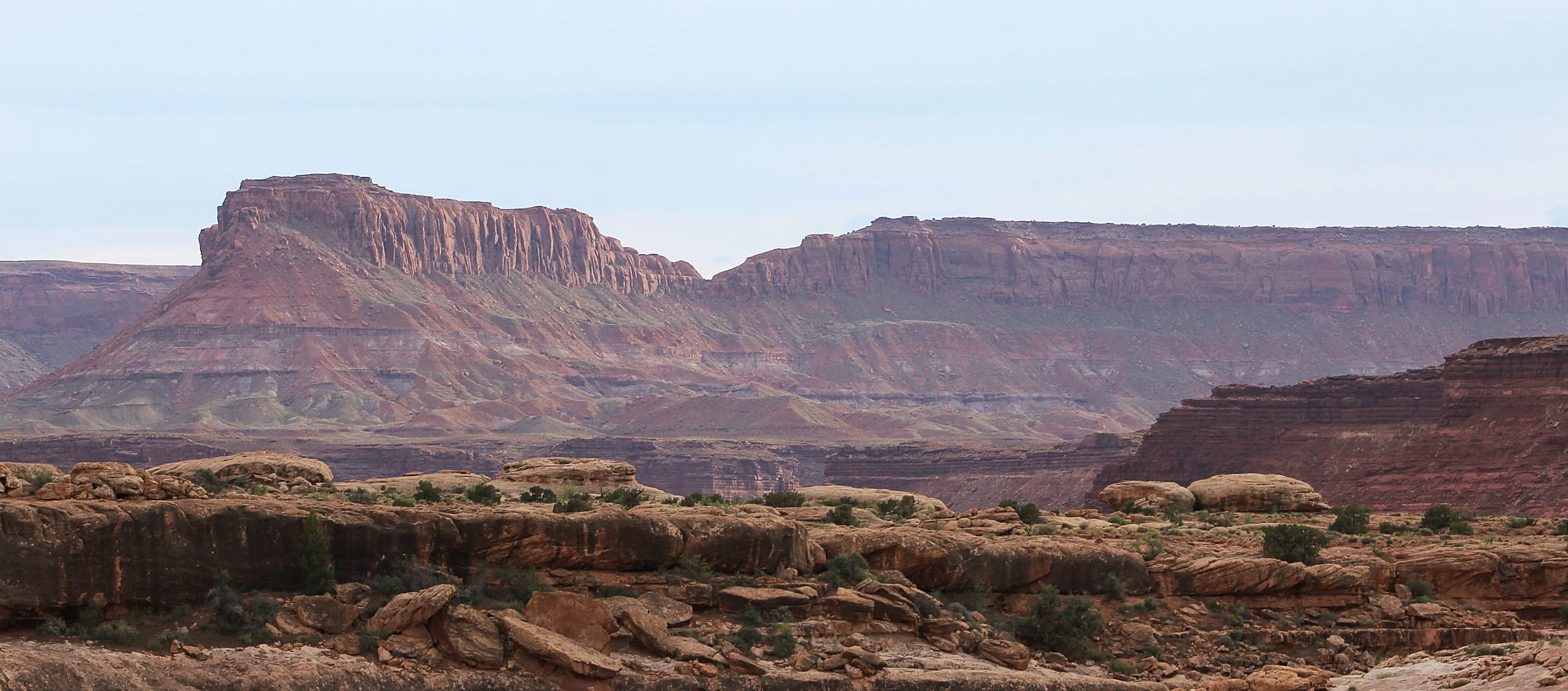
Candela Renewables Solar Permitting
Rough Hat Solar Project
Candela Renewables Solar Permitting
Rough Hat Solar Project
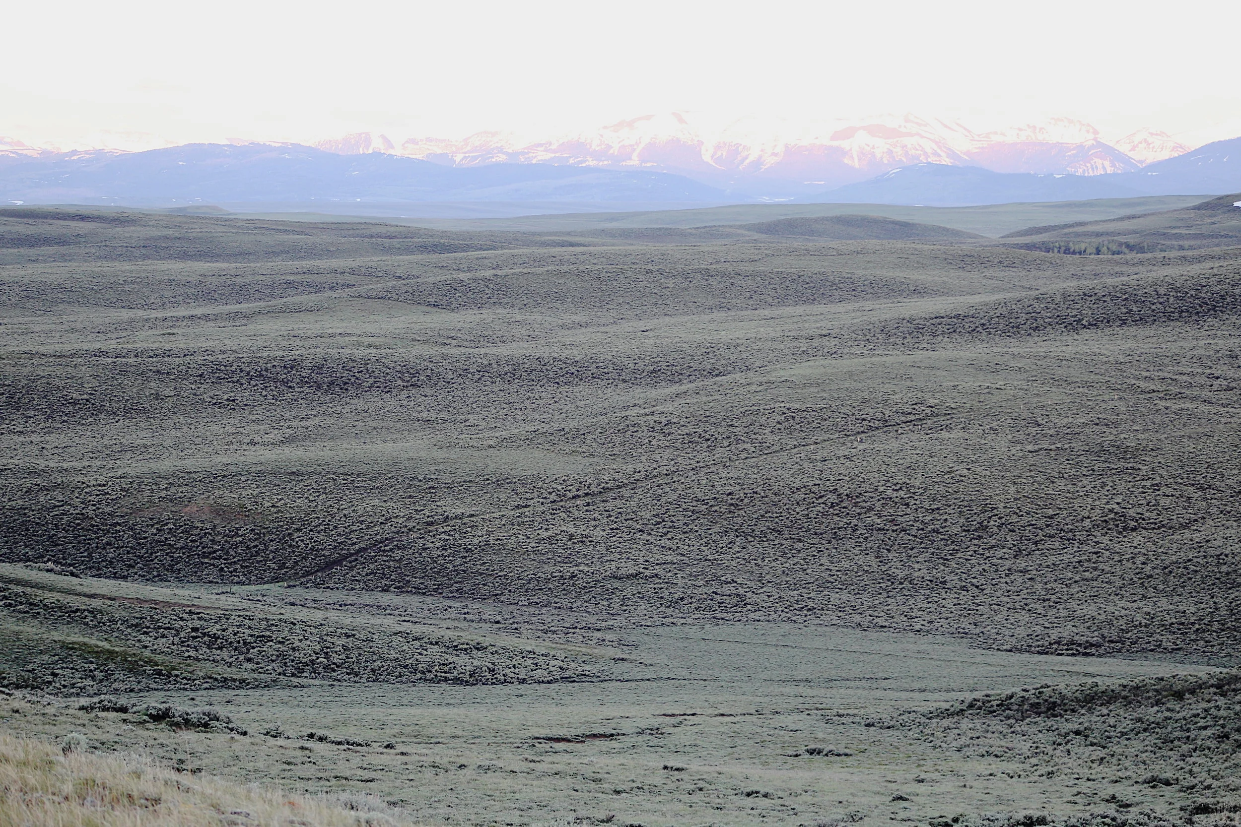
In 2022, we began the process of helping Candela Renewables secure the Bureau of Land Mangement permits necessary to develop a nearly 25,000-acre solar farm in southern Nevada’s Mojave Desert. Fieldwork and reporting include a wetland delineation, natural resources report, and Biological Evaluation of threatened and endangered species, including desert tortoise.
Mexican Spotted Owl Monitoring
U.S. Forest Service, Region III
Mexican Spotted Owl Monitoring
U.S. Forest Service, Region III
After imitating the owl's barking calls the previous night, and having something of a conversation, we were able to locate this Mexican spotted owl. MSO are one of, if not the most elusive bird in the American Southwest.
Beginning in 2023, Sagebrush began a multi-year effort to map the federally threatened Mexican spotted owl across the Southwest. We’re monitoring spotted owls on the Lincoln, Coronado, Gila, Tonto, Kaibab, Santa Fe, Apache-Sitgreaves, Carson, and Prescott National Forests.
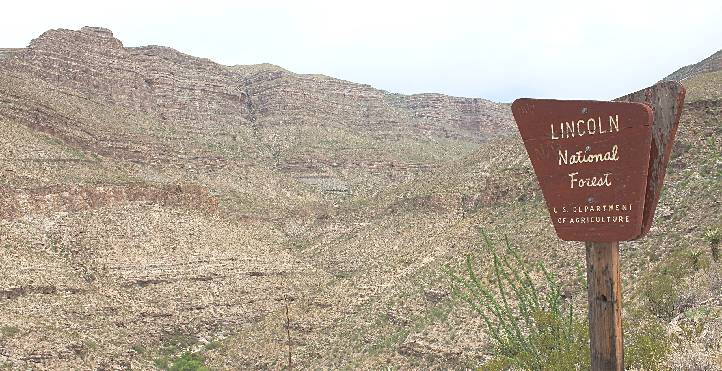
Meeker to Rangely TransmissioN Line Environmental Compliance
Botany, Raptors, Construction Monitoring, etc.
Meeker to Rangely TransmissioN Line Environmental Compliance
Botany, Raptors, Construction Monitoring, etc.
Sagebrush is working with Tri-State Generation and Transmission, an electrical cooperative of several independent companies across the west, to ensure environmental compliance during repairs to their 35-mile 115kV transmission line. The Meeker to Rangely Line spans roughly 18 miles of Bureau of Land Management, White River Field-Office managed land. We are surveying for, and monitoring, rare plants, raptors, and other taxa. We’re also monitoring construction for Clean Water Act Nationwide Permit and stormwater-mitigation infrastructure. The project right of way passes through rare “cushion” plant communities endemic to the semi-arid region surrounding the Colorado, Utah, and Wyoming borders. It also runs adjacent to the White River, an important tributary of the Colorado River.
The transmission line is critical infrastructure delivering electricity to rural northwestern Colorado.
U.S. Forest Service Region II Wildlife Surveys
Wildlife IDIQ
U.S. Forest Service Region II Wildlife Surveys
Wildlife IDIQ
Sagebrush has been selected to conduct a variety of wildlife surveys throughout Region II of the U.S. Forest Service. Region II consists of 11 national forests in Colorado, Wyoming, South Dakota, Kansas, and Nebraska. Surveys are anticipated to continue through 2022.
Between May and September, 2018, our biologists located 12 previously unknown special-status raptor nests. Species included Cooper’s hawk, sharp-shinned hawk, broad-winged hawk, and goshawk. Sagebrush, in cooperation with Forest Service biologists, developed a multi-species survey protocol involving broadcast vocalizations. Beyond raptors, we mapped fens, springs, northern leopard frog, and a host of Forest Service-sensitive species and habitats on over 37,000 acres.
Northern goshawk exhibiting territorial behavior during courtship phase (Photo by Amadeus Guy).
Black Hills wildlife Surveys
Mapping nesting raptors and other rare fauna
Black Hills wildlife Surveys
Mapping nesting raptors and other rare fauna
Cooper's hawk juveniles near Mystic, South Dakota (Photo by Ben Eddy)
In May of 2018, we were selected to conduct watershed-scale, special-status wildlife surveys on over 37,000 of the Black Hills National Forest. Our team was asked to design a methodology to simultaneously survey for four target raptor species: northern goshawk, Cooper's hawk, sharp-shinned hawk, and broad-winged hawk. To achieve this, our GIS analysts stratified and delineated roughly 300 Primary Sampling Units, or PSU's. These PSU's are designed to predict raptor territories based on topography, vegetation, and hydrology.
To date, our biologists have identified nesting territories of several Accipiters and broad-winged hawk. Our biologists have also mapped species of interest including mountain lion, smooth green snake, and northern leopard frog, as well as habitats of interest including springs, non-vascular micro-sites, and bat roosts.
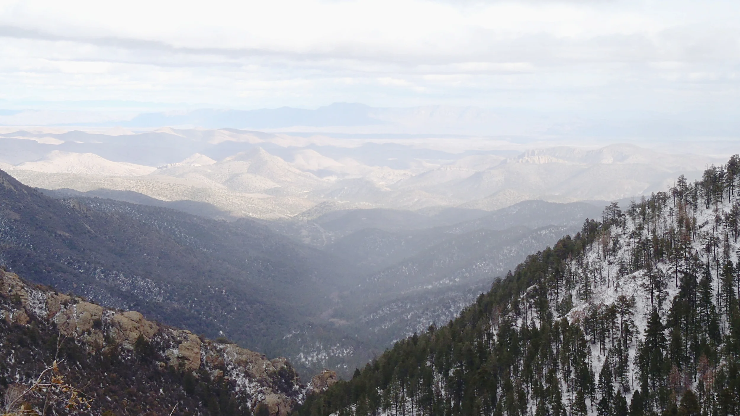
Tonto National Forest Mexican Spotted Owl Monitoring
Tonto National Forest Mexican Spotted Owl Monitoring
Dusk on Brown’s Peak. Surveys for Mexican spotted owl began just prior.
Beginning in the fall of 2018, Sagebrush began a four-year effort to formally monitor 35 Mexican spotted owl (MSO) protected-activity centers (PAC’s). PAC’s are approximately 600 acres centered around historical MSO activity, typically nesting. Formal monitoring is defined by USFWS survey protocol designed to detect and locate this federally protected owl. A total of eight surveys, four over two years, is required to confirm the presence or absence of MSO.
MSO surveys are conducted in the very early hours around dawn, and approximately 3 hours before and after dusk. At these time, MSO are most active. Detections are elicited by mimicking the owl’s vocalizations.
PAC’s on the Tonto National Forest can be extremely remote. Monitoring will occur in the Four Peaks and Sierra Ancha Wilderness Areas and along the Mogollon Rim.
Sacramento Prickly Poppy Inventory
Inventorying federally endangered
Sacramento prickly poppy for the Lincoln National Forest
Sacramento Prickly Poppy Inventory
Inventorying federally endangered
Sacramento prickly poppy for the Lincoln National Forest
Sacramento prickly poppy, Alamo Canyon, New Mexico
Beginning July 2017 and continuing through 20201, Sagebrush will complete annual inventories of the federally endangered Sacramento prickly poppy (Argemone pleiacantha ssp. pinnatisecta) on the Lincoln National Forest, home to most of the roughly 900-1300 remaining in the world. This rare flower lives in the deep, desert canyons of the western escarpment of the Sacramento Mountains near Alamogordo, New Mexico.
Sagebrush has been selected to continue yearly mapping of the flower to gauge reproduction, survivorship, and predation for the next three years.
Tonto National Forest Biological Surveys and Reporting
Biological IDIQ
Tonto National Forest Biological Surveys and Reporting
Biological IDIQ
In July of 2017, the Tonto National Forest awarded Sagebrush a four-year Indefinite Delivery, Indefinite Quantity (IDIQ) contract. We have the opportunity to assist the Tonto with wildlife surveys for species such as Mexican spotted owl, write environmental compliance documents such as Biological Assessments, and take part in the Forest's NEPA compliance.
During the winter of 2018, Sagebrush began a two-year protocol-level survey for Mexican spotted owl in the Four Peaks Wilderness Area of the Tonto.

Alec Wolseifer scrambling out of a desert canyon, prime Mexican spotted owl habitat.
Elkhead Mountain Environmental Assessment and Wetland Delineation
Elkhead Mountain Environmental Assessment and Wetland Delineation
Amadeus mapping a cattail pond for the U.S. Army Corp of Engineers wetland delineation.
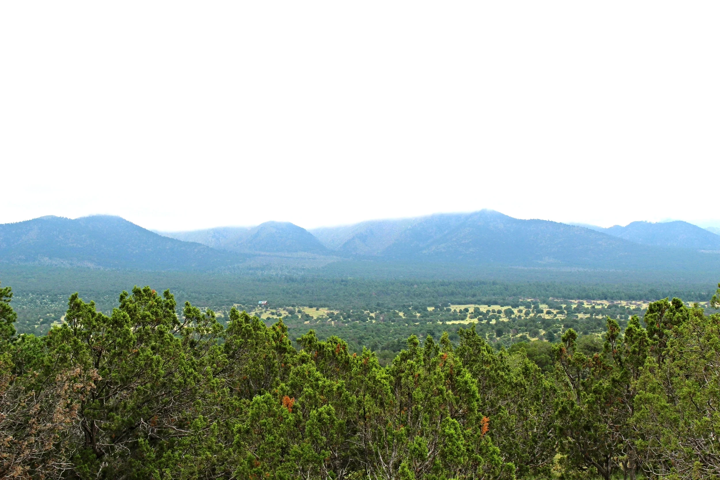
In the often overlooked Elkhead Mountains of northwest Colorado, Sagebrush is helping its client to complete an Environmental Assessment and U.S. Army Corps of Engineers wetland delineation. The 15,000-acre project requires a thorough permitting process to protect the wild, remote area while allowing thoughtful, unobtrusive development. Sagebrush is working with the involved counties, Army Corps of Engineers, Bureau of Land Management, U.S. Fish and Wildlife Service, and Colorado Parks and Wildlife to complete the project.
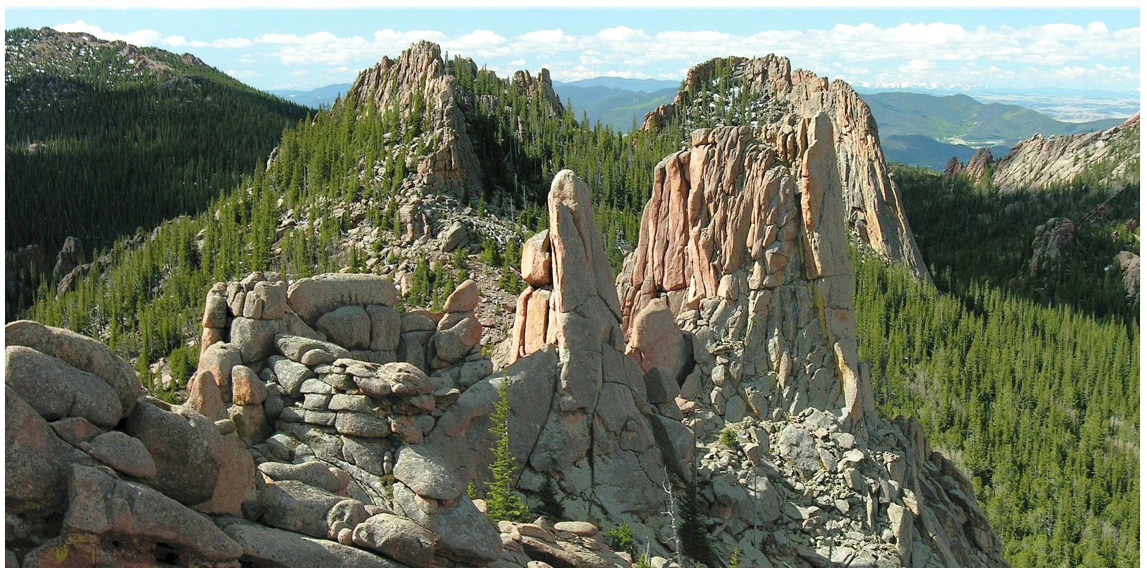
Pike National Forest Northern Goshawk Survey
Pike National Forest Northern Goshawk Survey

Avian Biologists conducted broadcast-protocol NOGO surveys in the shadow of Pikes Peak.
During the spring and summer of 2017, Sagebrush's Avian Biologists conducted a 4,100-acre goshawk survey on the Pike National Forest, west of Colorado Springs.
Grandview BLM Botanical Study
Grandview BLM Botanical Study

Eatonella nivea, a 2 cm-tall endangered plant identified by Sagebrush's botanists. Grand View, Idaho
As a subcontractor to ATC Inc., Sagebrush completed 2,500 acres of baseline botanical inventory and rare plant surveys in support of the Boise BLM's Grandview Travel Management Plan (TMP).
Our botanists identified dozens of rare plant populations, including Janish penstemon, Snake River milkvetch, white eatonella, and many others.
Powder River Basin Midstream
Powder River Basin Midstream

Abundant pronghorn on the vast grasslands of eastern Wyoming.
In the Summer of 2017, Sagebrush will begin the environmental permitting process for a 40-mile pipeline in central Wyoming. Wetland delineations, a Biological Assessment/Biological Evaluation, and TES surveys are all required.
Upper Green River Basin Greater Sage Grouse Mitigation Bank Habitat Evaluation
Upper Green River Basin Greater Sage Grouse Mitigation Bank Habitat Evaluation
In an effort to preserve the state's greater sage grouse population, Wyoming has created a compensatory mitigation framework allowing landholders to sell habitat mitigation credits to developers, energy producers, mining companies and others. Sagebrush is in the process of assessing a private ranch for its value and feasibility as a sage grouse habitat mitigation bank. Sage grouse require vast areas of undisturbed, un-fragmented sagebrush for survival. They're what's known as a "landscape-scale species". By establishing a series of habitat mitigation banks, Wyoming, which supports the world's largest population of sage grouse, hopes to preserve landscapes on the scale necessary for the bird.
Greater sage grouse lek outside Pinedale, Wyoming.
Four-Mile Red-Shouldered Hawk and Raptor Survey
Four-Mile Red-Shouldered Hawk and Raptor Survey
Elusive red-shouldered hawk photographed in the Northern Wisconsin woods during our survey for the CNNF (photograph by Amadeus Guy).
During the spring of 2017, Sagebrush's avian biologists conducted a 5,500-acre, protocol-level survey for nesting raptors in northern Wisconsin's Chequamegon-Nicolet National Forest. The survey's primary focus was nesting red-shouldered hawk and northern goshawk. To achieve this, biologists broadcast northern goshawk and red-shouldered hawk calls via loudspeaker. These broadcasts elicit responses, allowing us to GPS nests.
Sagebrush located five of the elusive red-shouldered hawk (picture right) and one goshawk.
Mt. Baker-Snoqualmie National Forest Botanical Surveys
Mt. Baker-Snoqualmie National Forest Botanical Surveys

Fritillaria camschtensis, one of several rare plants found by Sagebrush's botanists in one of the most botanically rich environments in the country.
Sagebrush was selected by the Mt. Baker-Snoqualmie National Forest to conduct rare plant surveys on roughly 1900 acres and invasive weed mapping along 130 miles of Forest Service roads. The surveys include vascular and non-vascular species, such as macrolichens, mosses, and bryophytes.
During the month-long baseline botanical inventory and rare plant survey, we located several previously unknown occurrences of duplicate tube lichen (Hypogymnia duplicata), few-flowered sedge (Carex pauciflora) and other rare plants known to the western Cascades.
Lincoln National Forest Botanical Study
Lincoln National Forest Botanical Study
Beginning in the summer of 2015, Sagebrush's botanists undertook a six-year botanical study of southern New Mexico's Lincoln National Forest. Scouring the ponderosa-draped Sacramento Mountains surrounding Ruidoso, and the drier, juniper-oak forested Capitan Mountains west of Roswell, we're mapping populations of rare plants including shootingstar geranium and Kerr's milkvetch.
In 2017, Sagebrush was selected to conduct annual inventories of the federally endangered Sacramento prickly poppy, one of the West's rarest plants.
America's 4th known population of Geranium dodecatheoides; located by Sagebrush's botanists.
Uintah Basin Biological Compliance
Uintah Basin Biological Compliance
On behalf of our Energy client, Sagebrush conducts rare plant and raptor surveys to help them maintain BLM compliance. We field large botanical crews for Uinta Basin hookless cactus (Sclerocactus spp.) surveys throughout BLM-Vernal Field Office, State of Utah, and Uinta Nation-administered lands. Smaller crews inventory raptor nests in proximity to proposed infrastructure, wells, and maintenance projects.
Curve ball. Two, common prickly pear (middle), with federally protected Sclerocactus on either side.
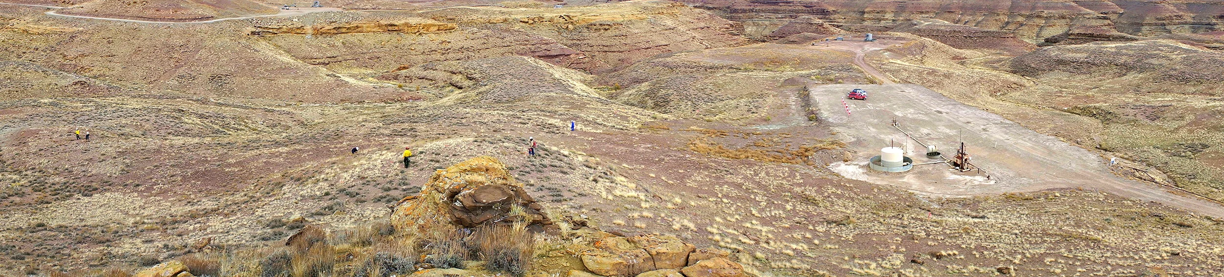
Western Slope E&P Environmental Permitting
Western Slope E&P Environmental Permitting
Taken from a distance to prevent disturbing this female osprey incubating her eggs.
In support of our Energy clients, Sagebrush conducts raptor-nest surveys, rare plant studies, wetland delineations, and develops stormwater as well as reclamation plans pursuant to their western Colorado BLM and state leaseholds. Presently, we're completing an Environmental Assessment for one of our clients. We work in the Piceance Basin and lesser known Colorado shale plays in Garfield, Moffat, and Routt Counties.
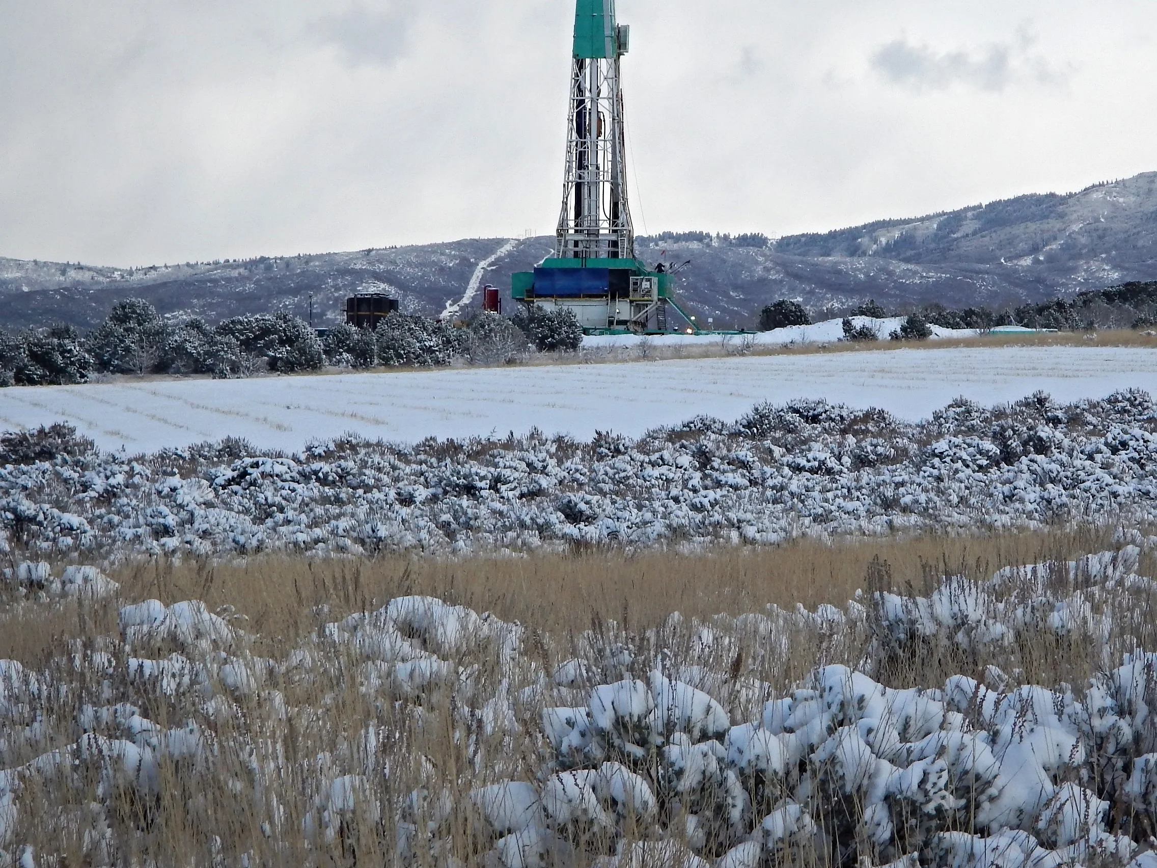
Wattenberg E&P Environmental Permitting
Wattenberg E&P Environmental Permitting
Because our client is committed to stewardship of natural resources, we're helping them comply and exceeded Colorado Oil and Gas Conservation Commission (COGCC), Colorado Parks and Wildlife (CPW), and other agencies' regulations and voluntary environmental minimization, mitigation, and avoidance recommendations. By designing Best Management Practices (BMP's) protecting rebounding bald eagle populations, mule deer, antelope, and aquatic resources, together, we're minimizing the producer's environmental footprint. We're also helping them plan ahead for reclamation, so in the future they'll leave no trace of their operation.