


Endangered Species
Endangered Species
Endangered Species Act Surveys and Permitting
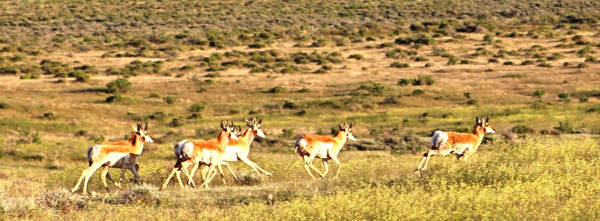
In the northern Rockies, for good reason, the greater sage-grouse seems to receive the most attention with respect to the debate over listing this steppe-dwelling bird under the Endangered Species Act (ESA). In September of this year, the Obama Administration will re-classify the grouse from its current Candidate status to Threatened or Endangered (the latter two carry formal, federal protection afforded by the ESA), or remove it from the ESA altogether. This pending decision carries broad implications for ranchers, energy producers, and mining, particularly in Wyoming which supports the largest population among the grouse's 11-state range.
Mexican Spotted Owl photographed on the Cibola National Forest by Ben Eddy. Photo taken from a distance via telephoto lens to avoid disturbing the federally protected juvenile.
In the West, where people and natural resources meet vast wild areas, it's more than just sage grouse. In Metro Denver our projects encounter bald eagles. Sightings of timber wolves in southern Wyoming, lynx and wolverines in northern Colorado, are phenomena unheard of for decades. Mostly, it's about the smaller, less charismatic endangered species though. Sagebrush scours project areas on the Colorado Plateau for small orchids and cacti. Be it a high-flying eagle or low-lying hookless cactus, the same ESA protections apply. Our biologists will work with you to understand the due-diligence required to complete your projects.
"Endangered" is often used as a catch-all phrase encompassing all special-status species. If the U.S. Forest Service, Bureau of Land Management, or states have jurisdiction over your project, they often require their own surveys and documentation. The BLM and USFS both have their own species lists beyond plants and animals protected by the ESA. States maintain their own endangered species lists and state-required survey protocols; this is especially true for raptors.
Endangered and Special-Status Species Services
- Endangered and Special-Status Species Surveys
- Biological Assessments for USFWS compliance
- Biological Evaluations for BLM, USFS, and state game and fish compliance
- Bald and Golden Eagle Act (BGEPA) surveys, documentation, and data sheets for USFWS compliance
- Migratory Bird Treaty Act pre-construction nest surveys
- Protocol-level surveys for raptors, Uinta Basin rare plants, Mexican spotted owl, southwestern willow flycatcher, and others
Biological Assessments
Biological Assessments and Biological Evaluations
Biological Assessments
Biological Assessments and Biological Evaluations
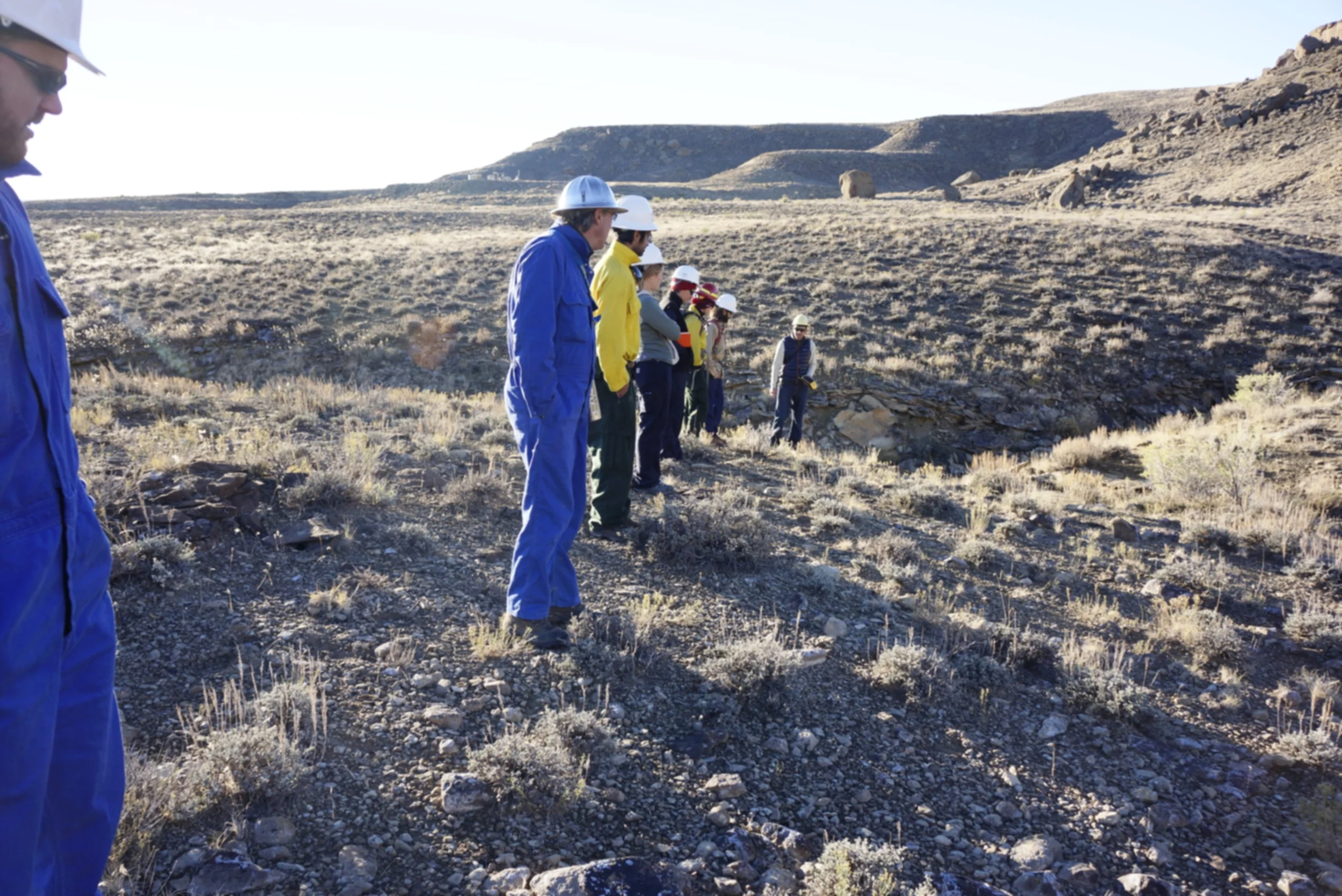
Biological Assessments and Biological Evaluations, commonly referred to as BA/BE's, evaluate your project's impacts on Threatened, Endangered, and Sensitive species. If your project intersects with federal money, federal land, or federal minerals, the U.S. Fish and Wildlife Service requires a Biological Assessment of its affects on species listed or proposed for Endangered Species Act protection. If your project takes place on Federally managed lands, such as BLM or U.S. Forest Service, a Biological Evaluation may be required by the federal land management office. Biological Evaluations address your project's effects on BLM-sensitive or Regional Forester-sensitive species. Often times, project proponents are required to submit both documents.
To date, Sagebrush's staff have completed 33 BA/BE's on behalf of clients ranging from the National Park Service to rural airstrips.
Wetlands
Wetlands
Clean Water Act Wetland Delineations and Permitting
In the West, particularly the Arid West, delineating wetlands and waters of the United States can be tricky. Recent court rulings like Rapanos and Carabell require careful consideration be taken when potentially impacting dry washes, arroyos, and irrigation ditches. Before stepping into the field, Sagebrush's wetland biologists conduct thorough analyses of aquatic habitats in your project area. With GIS and Google Earth©, we determine not only the scale of wetlands surveys, which saves time in the field, we look for potential jurisdictionality.
Consider this Sonoran wash. It's 40 miles from the nearest water body of any measure, yet through as series of connections, once a decade or so, it contributes water to the Babacomari River. Infrequently flowing, easily overlooked waters like this one snake across our dry, western landscape. Insignificant as they may appear, with persistent droughts and growing demand for water, every drop counts. As such, before you build an access road, site a well, or consider expanding your parking lot into the cattails, it's critical you have someone experienced in Clean Water Act delineations and permitting evaluate your project area.
CLEAN WATER ACT COMPLIANCE SERVICES
- Section 404 wetland and waters delineations and permits
- Section 401 state certifications
- Wetland mitigation, onsite and mitigation banking
- Stormwater Management Plans and state-level permits
NEPA
NEPA
Environmental Assessments and Categorical Exclusions
Sagebrush integrates permits, such as Clean Water Act wetlands and stormwater, and agency coordination, including U.S. Fish and Wildlife Service and Bureau of Land Management, into the NEPA process. Biologists, GIS, and environmental scientists work together to identify issues, conduct fieldwork, analyze alternatives, and generate the final environmental documentation and public outreach.
Raptor Surveys
Raptor Surveys
Sagebrush has grown into one of the West's preeminent raptor biology outfits. We use spatiotemporal modeling to locate likely nesting locations based on species-specific attributes: canopy cover, surface water, topographical relief, and other variables are analyzed to focus survey intensity. We have located red-shouldered hawk in the swamps of northern Wisconsin and Mexican-spotted owl in the desert of New Mexico.
To date, we have surveyed more than 70,000 acres for a variety of special-status raptors including burrowing owl, broad-winged hawk, Cooper's hawk, ferruginous hawk, prairie falcon, Mexican spotted owl, northern goshawk, red-shouldered hawk, osprey, bald and golden eagles, sharp-shinned hawk, among others.
Our avian biologists volunteer their time surveying for and monitoring raptor nests along the Green River. Forty two nests, representing more than a dozen species, have been located or monitored since the spring of 2016.
Sharp-shinned hawk in the Black Hills
Botanical Surveys
Botanical Surveys

Desert Transects: Las Cruces, NM
Our botanists have conducted multi-year studies for the State of Wyoming, Colorado's White River National Forest, Point Reyes National Seashore, New Mexico's White Sands, the Ruby Pipeline, and the 236-mile long One Nevada transmission line, connecting Ely to Las Vegas. Currently, we're conducting a six-year rare plant study of New Mexico's Lincoln National Forest and survey of vascular and non-vascular plants for the Mt. Baker-Snoqualmie National Forest in western Washington. From these studies, among others, Sagebrush knows well the West's diverse flora.
Services
- Vegetation mapping
- Rare plant surveys for BLM, USFS, and USFWS compliance
- Baseline botanical studies
- Range management
GIS
Geographic Information Systems
GIS
Geographic Information Systems
GIS is indistinguishable from the rest of the services we provide. It's a component for every type of project we conduct. Not long ago, GIS mapping was reserved for large firms with GIS specialists. With today's technology, Sagebrush is equipped with the equipment and skills to collect geospatial data, and present it to the same way, multinational consulting firms do. With our cloud-based platform, we can share your project's geospatial data with you in real time. It can be shared interactively, so while we're in the field, you can contribute your own data with us.